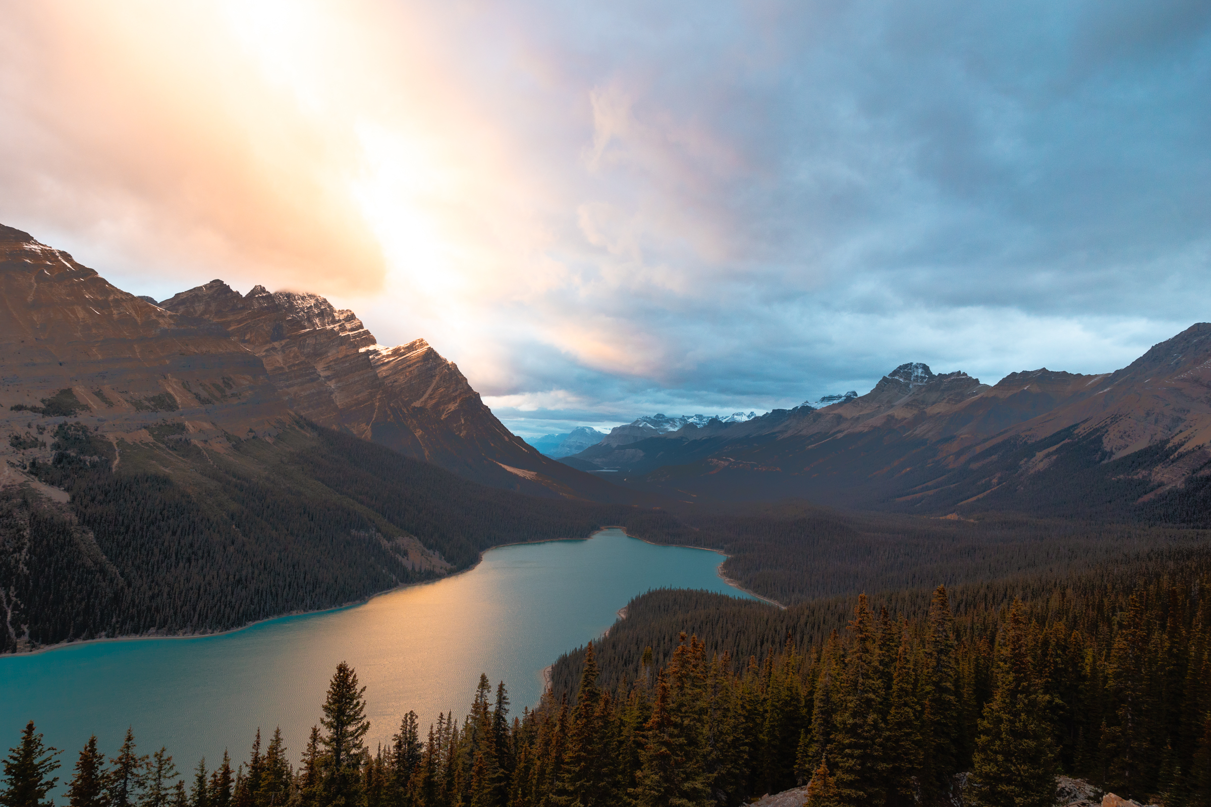
This is easily one of my favorite places to visit in the Canadian Rockies. By looking at photos of this beautiful wolf-shaped lake, you would assume it would take some effort to get there, right? Turns out it’s only a short 10-15 minute walk to the best viewpoint at Peyto Lake!
When you arrive, there is a large parking area with restrooms and a paved path that leads to the main viewpoint. The viewing area is large and typically busy, full of people who are also looking to get a glimpse of this glistening, glacier-fed lake. There is a “secret” viewpoint that few people go to, and this post will detail exactly how to get there!
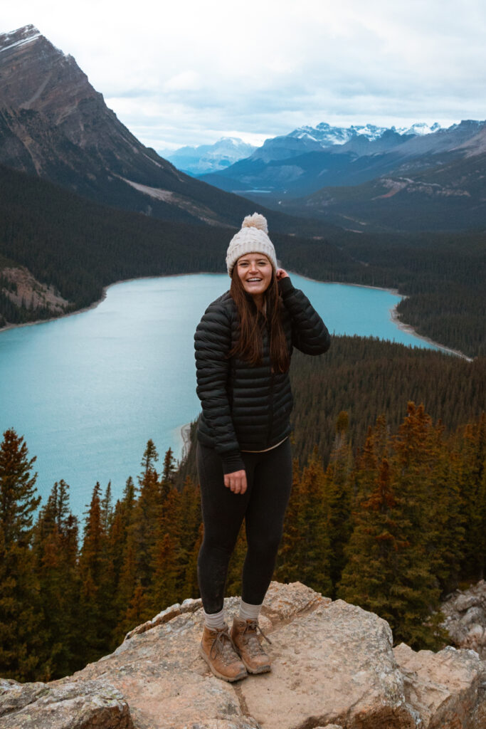
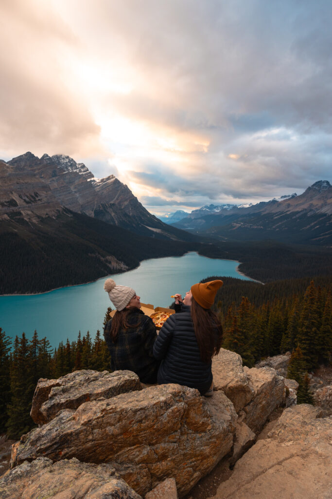
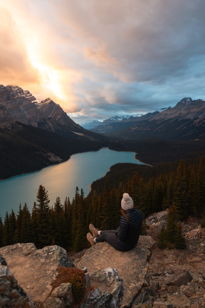
Don’t get me wrong, the main viewpoint at Peyto Lake is beautiful. It’s just too crowded. Thankfully, there is a trail that leads to the view you see above. Far fewer people know about it, but it can be a little difficult to find unless you know what you’re looking for. I am going to give you specific instructions (and coordinates) so you can find your own way there, but first it’s important that I remind you of the Leave No Trace Principles.
As for any time you’re enjoying the outdoors, it’s important to leave it better than you found it! This means packing out your trash, staying on trail, respecting wildlife, leaving what you find, and so much more. There’s a ton to learn out protecting the environment, and it takes all of us. Please take some time to work through this free Leave No Trace training so that together, we can safely enjoy the outdoors while leaving it wild and beautiful for generations to come.
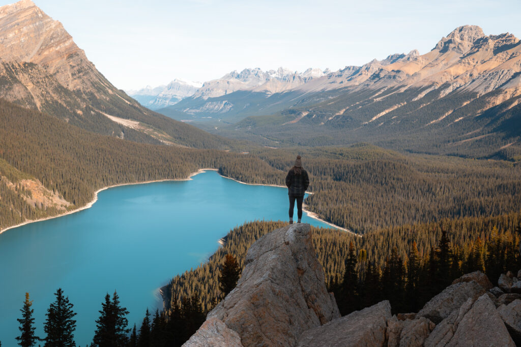
I visited Peyto Lake while on my week-long road trip through the Canadian Rockies! It’s also one of the best stops along the Icefields Parkway! If you’re planning a trip, make sure to check out those posts to help with travel planning. You’ll find information about how to get there, what time to visit, where to stay, what to do, and more!
Best Viewpoint at Peyto Lake: How to Get There
When you arrive to the main viewpoint (you’ll know you’re at the main viewpoint when you see the large observation deck and signs), take a left on the paved trail instead of walking straight out onto the viewing deck. Eventually, the path will split into three paved trails. Look for a fourth option on the right that is a dirt trail. This trail was once signposted, but the sign is no longer there. When I visited in October 2023, the post was still standing, and you could tell there was once a sign on it.
Make sure you don’t take a path that leads you downhill unless you’re looking to hike down to the shore of the lake. The correct path is a narrow, flat, dirt trail that leads to the viewpoint above after walking 5-10 minutes depending on your pace. I will leave a google map below with the coordinates to the viewpoint. Download the google map for offline use, and when you’re there, you can use the map to ensure you’re headed in the right direction!
I did not encounter any wildlife, but always carry bear spray, make noise, and hike in groups. This is grizzly country after all!
I hope this post helps you find this beautiful place. I’d love to see your photos if you visit! You can comment below or tag me on IG @locatinglo!
Happy adventuring!!! 🙂
Like it? Pin it for Later!

exploring:
Leave a comment